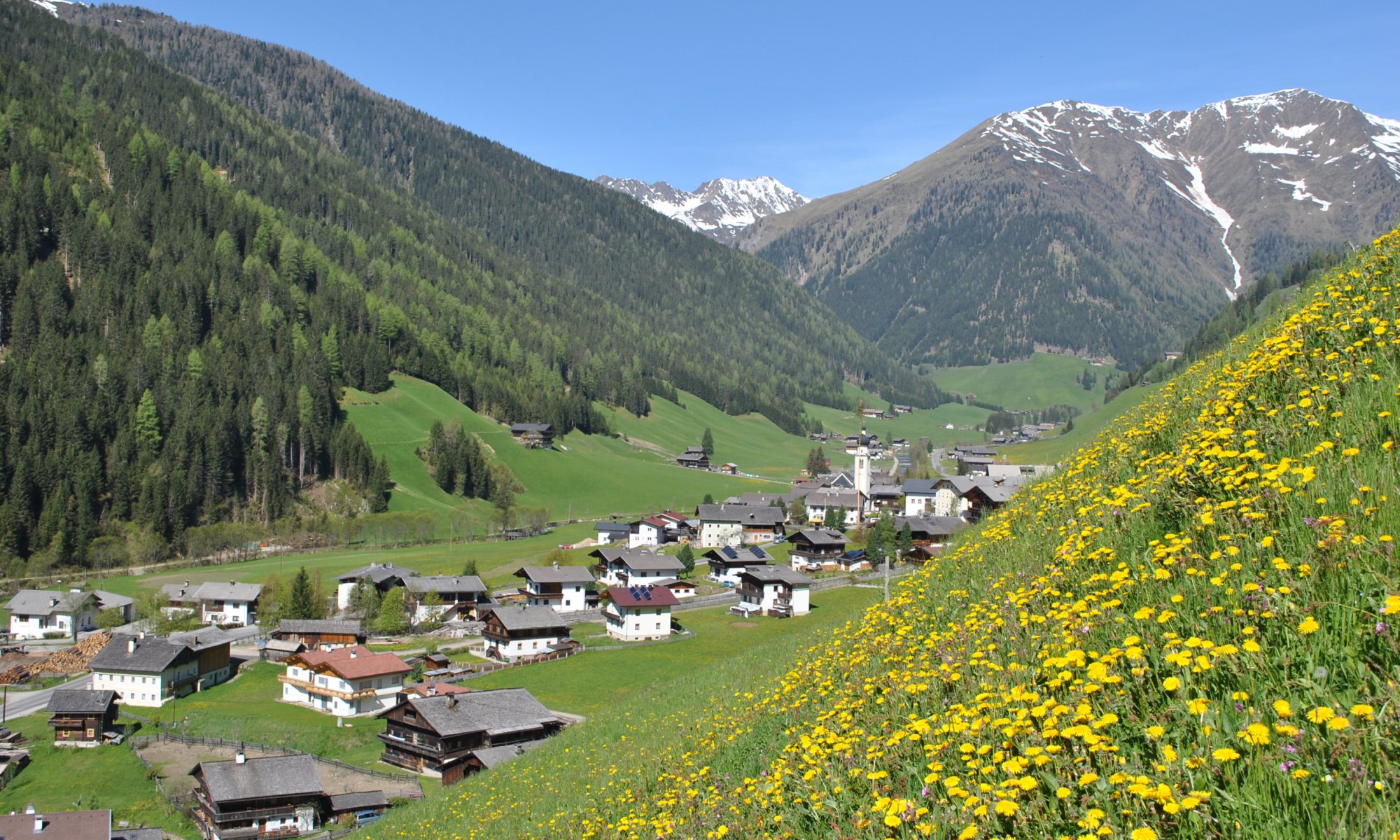
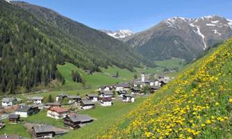
Herz-Ass Villgratental - Feel the heartbeat of the Alps
Mountain panorama trail around the Villgraten Mountains
Trail Ace the Herz-Ass Villgratental
- alpine mountain trail in five daily stages with daily descent into the valley
- 75,6 km total hiking distance
- 5830 Elevation meters in the ascent
- 4900 Altitude on descent
- each Herz-Ass stage can also be planned individually
- individual stages can be combined (without additional descents, some altitude meters can be saved))
- from Außervillgraten to the Reiterstube in Winkeltal
- over 9 alpine pastures up to lofty heights
- 17,7km distance and 1260m ascent
 Stage 1: Alpine path to the Herrgottslärche
- from the Reiterstube via the historic Salzsteig to the Volkzeiner Hütte
- Follow old tracks
- 13,8km distance and 1200m ascent
 Stage 2: Via the Salzsteig into the Volkzein
- from the Volkzeiner Hütte to Unterstalleralm
- of troughs, troughs and horns
- 12,6km distance and 830m ascent
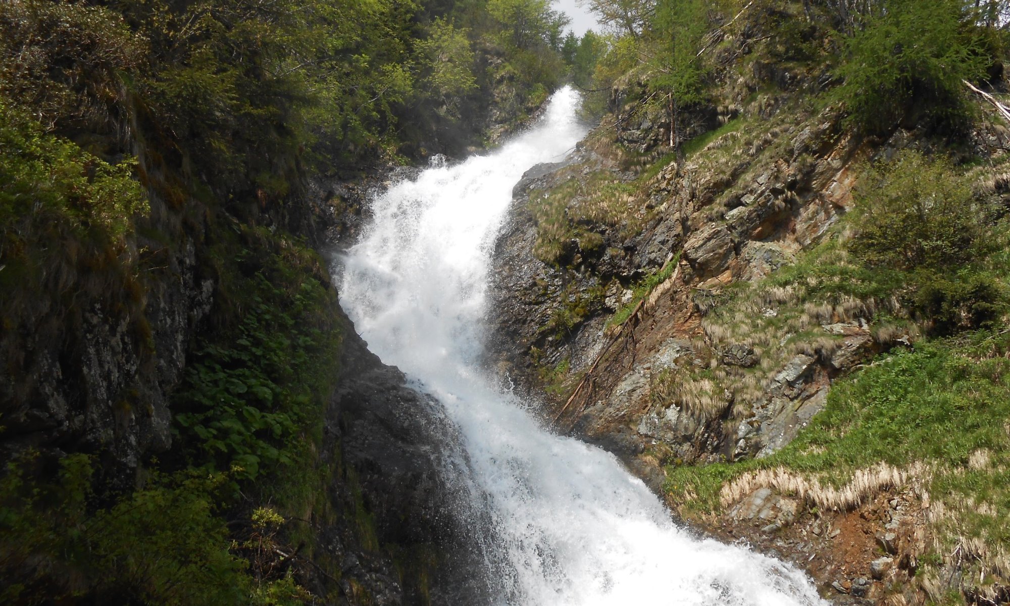
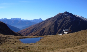
 Stage 3: Path of springs and water
- Unterstalleralm to Kalkstein
- About smugglers and shepherds paths
- 12,6km distance and 1180Hm ascent
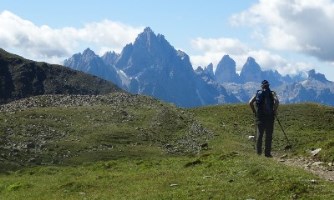
 Stage 4: Over the Jöcher
- Kalkstein to Thurntaler Gadein
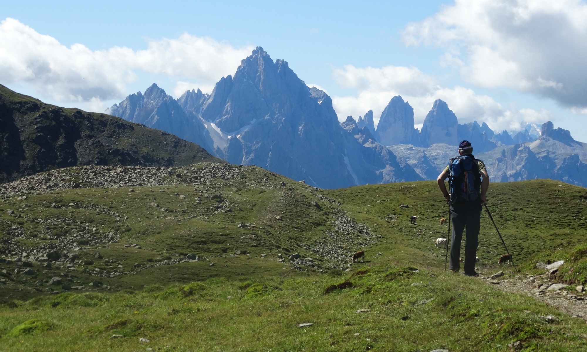
- the parade of the Sexten Dolomites
- 19,0km distance and 1250m ascent
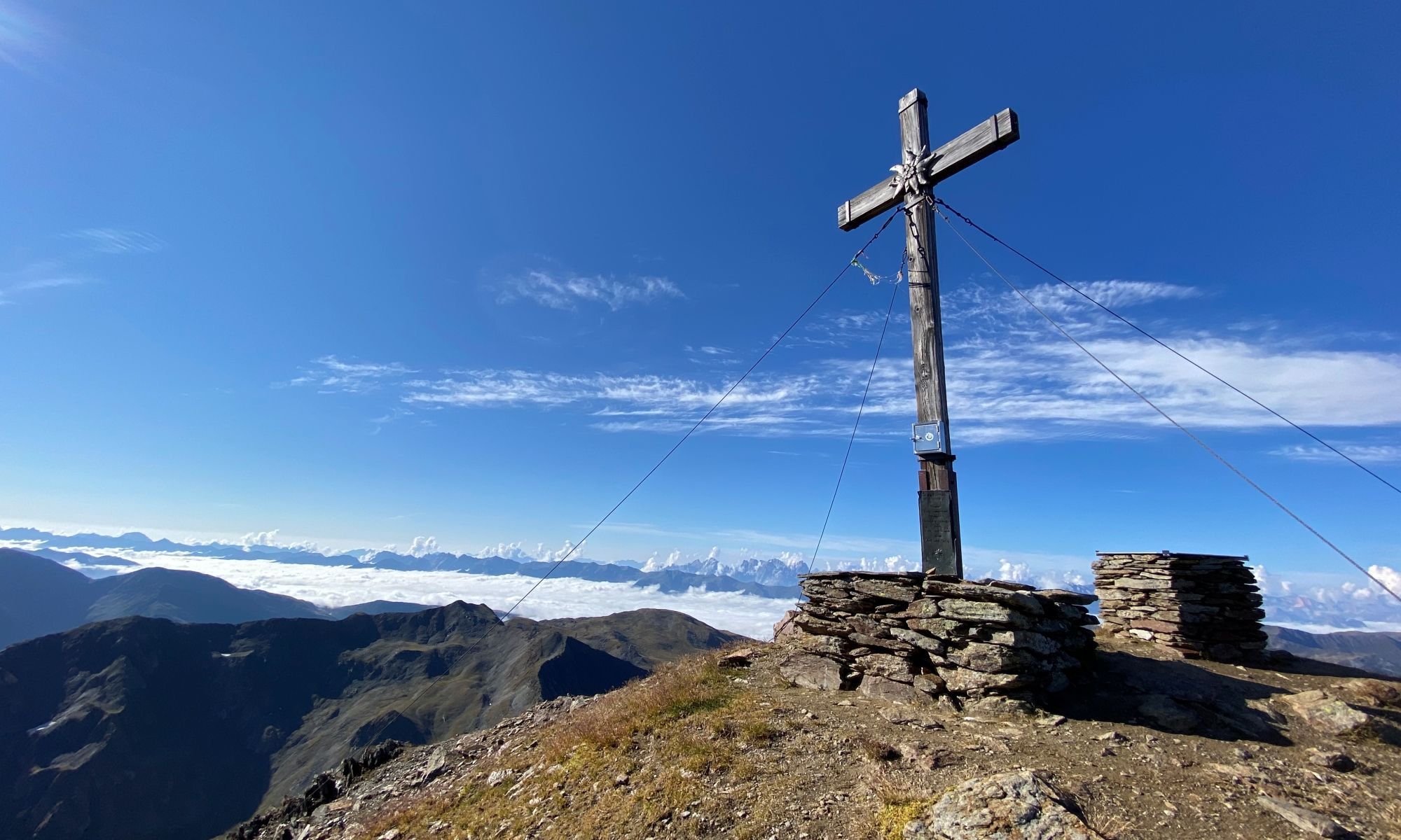
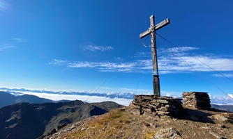
 Stage 5: Borderland path to Thurntaler Urban
- Mountain tour Hochgrabe 2951m
- Innervillgraten to Volkzein in the Winkeltal
- Crossing the Queen of the Villgraten Mountains
- Crossing the Queen of the Villgraten Mountains
 Königsweg the Herz-Ass Villgratental
- Innervillgraten to Reiterstube in Winkeltal (Außervillgraten)
- Sun hiking trail over Ahornberg and Versellerberg
- 11,1km distance and 510m ascent
 Oberweg the Herz-Ass Villgratental
Unterwege the Herz-Ass Villgratental
- Village paths to get to know with theme boards
- wo paths, one in Außervillgraten and one in Innervillgraten
- short easy hikes
- Themed trail with six stations
- 4,6km distance and 60Hm ascent
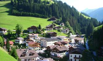 Village view path Außervillgraten
- Circular Innervillgraten
- 2,2km distance and 45Hm ascent
 Circular Gasse Innervillgraten