 Trail Unter of Herz-Ass Villgratental - Circular route Gasse Innervillgraten
Get to know the village center of Innervillgraten
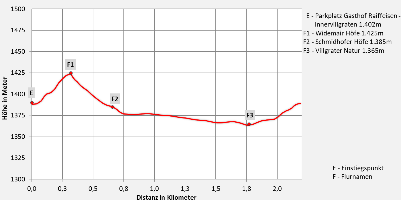
Walking time approx. 1 hours - easy hike
- 2,2km walking distance
- 45 ascent altitude
- 45 descent altitude
- lowest point: 1.365m - Villgrater Natur
- highest point: 1.425m - Wiedemair Höfe
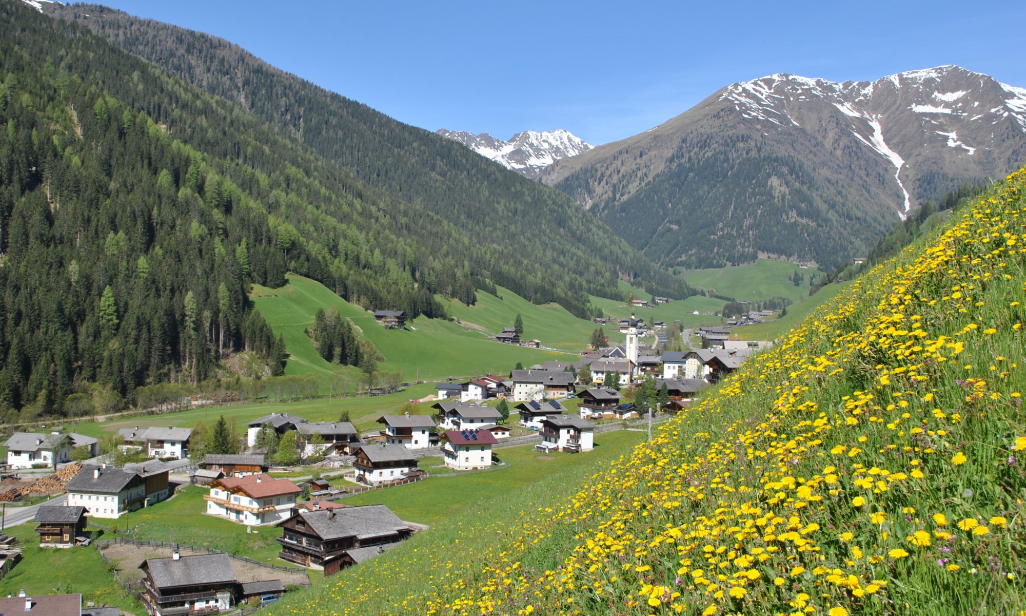
Circular route Gasse Innervillgraten
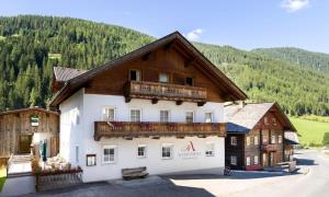
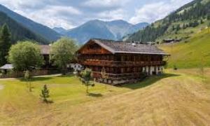
The starting point is the Gasthof Raiffeisen parking lot. We walk past the tourist office towards the Einathtal valley. After 250 m, we turn left at the 'Wiedemair Höfe' and, between the centuries-old stone walls, we enjoy the view of the Innervillgraten parish church. From the 'Schmidhofer Höfe', we cross the L273 and the Villgrater Bach stream, then turn left and walk out of the valley between the Talbach stream and the Prantersiedlung settlement. We follow the waterway to the Villgrater Natur park, where we cross the Villgrater Bach stream on the left. Passing the construction yard and the fire station, we cross the L273 country road and the Einathtal stream stream again, where we walk parallel to it towards the Schmiede Steidl and Gasthof Raiffeisen. At the Schmiede Steidl, we turn left and return to the starting point.
The path is signposted in both directions and there are plenty of places to sit.

Download:


Tourismusinformation Villgratental
+43 50 212 340
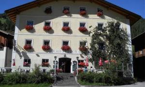
Gasthof Raiffeisen
+43 4843 5318
Übernachtung: ja
Gasthof Bachmann
+43 4843 5307
01.06.2025 - 20.10.2025
12.00 - 13.30 & 17.30 - 20.00 Uhr
Übernachtung: ja
Alfonsstüberl
+43.4843.5319
Übernachtung: ja
Gannerhof
+43 4843 5240
Übernachtung: ja